About Our Town

Maps & travel information

Burton Latimer is a small town in Northamptonshire, with excellent road, bus and rail links. You can even land your (light) plane nearby!

Burton Latimer location
Find us on the map
Car icon
Take the road
Hop on a bus
Train icon
Catch a train
Plane icon
Fly in and out

Burton Latimer is a small town in Northamptonshire, with excellent road, bus and rail links. You can even land your (light) plane nearby!

Find us on the map

Burton Latimer location map

Take the road

Burton Latimer Road sign
Burton Latimer direction sign

Burton Latimer lies 3 miles to the south of Kettering, Northamptonshire.

The town is clearly signposted from the A6, the A509, and from J10 of the A14.

Hop on a bus

Plan your bus journey to / from Burton Latimer on

Burton Latimer is served by buses run by Stagecoach.

Route No. 48: Kettering <-> Wellingborough

Almond Rd (Kettering) <-> Kettering <-> Barton Seagrave <-> Burton Latimer <-> Finedon <-> Irthlingborough <-> Wellingborough

Route No. 50: Kettering <-> Bedford

Kettering <-> Barton Seagrave <-> Burton Latimer <-> Finedon <-> Irthlingborough <-> Rushden Lakes <-> Rushden <-> Sharnbrook <-> Felmersham <-> Bedford

Catch a train

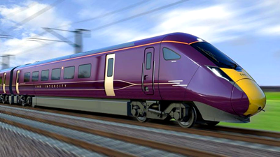
The nearest stations are at Kettering (4 miles) and Wellingborough (6 miles), which both lie on the main north / south line from St Pancras International, served by East Midlands Railway.

Peterborough station – on the east coast line run by LNER – is 45 minutes away by car.
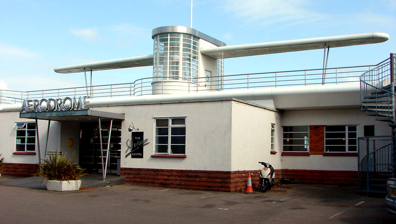
Fly in & out

Sywell Aerodrome is only 8 miles from Burton Latimer, and is one of the best general aviation airfields in the United Kingdom.

It also has a museum and a wonderful Art Deco styled Hotel. Fly in and park your private plane or helicopter here!

error: Content is protected !!